Loading…
Textures.com
Home
Library
Free
About
Help
Pricing
Instagram
X/Twitter
Loading…
Open navigation menu
Close
Next Asset
Previous Asset
Library
Soil
Rough
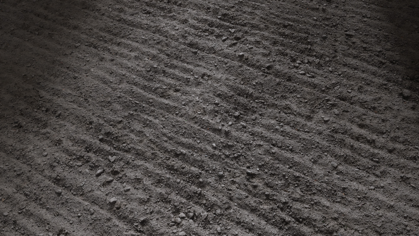
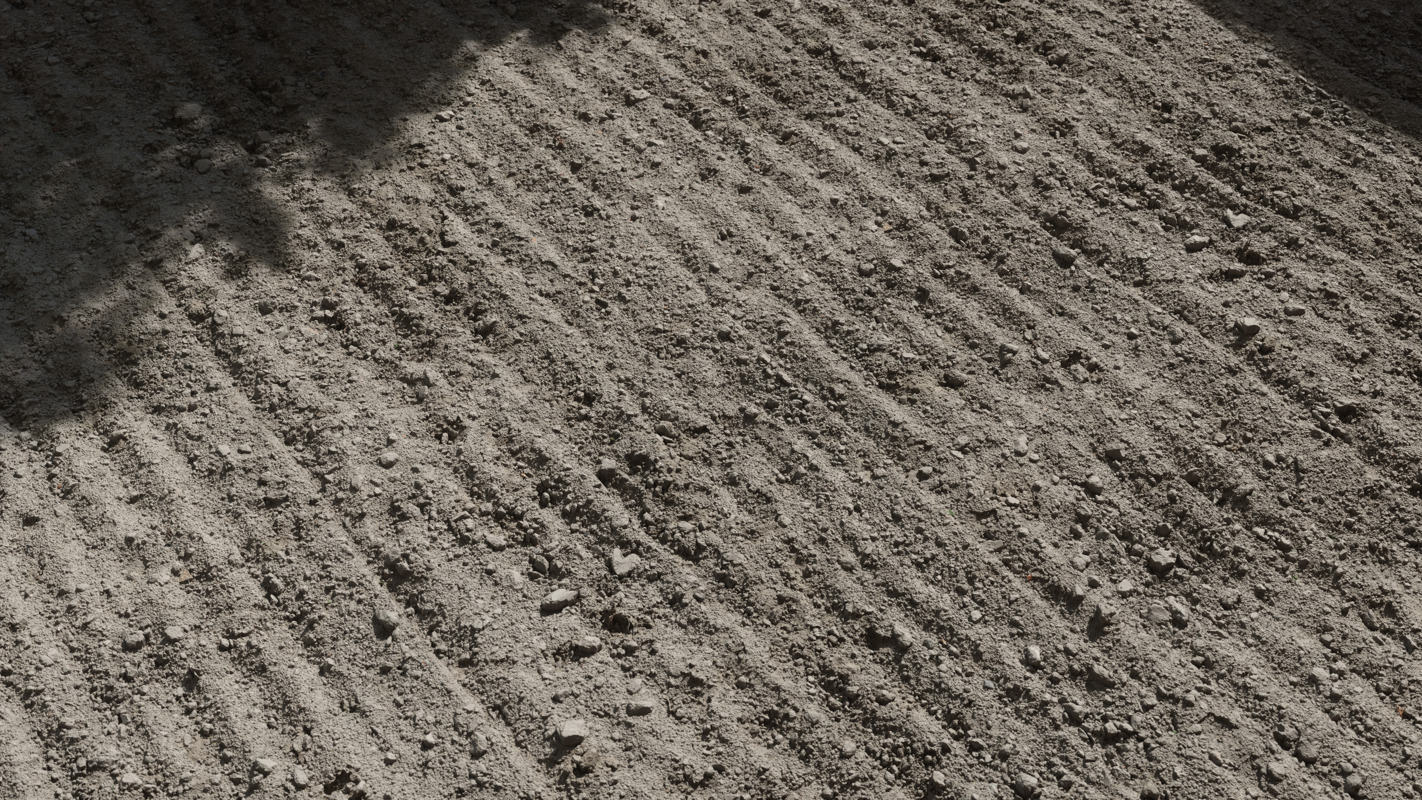
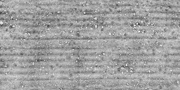
Dry Farmland 2
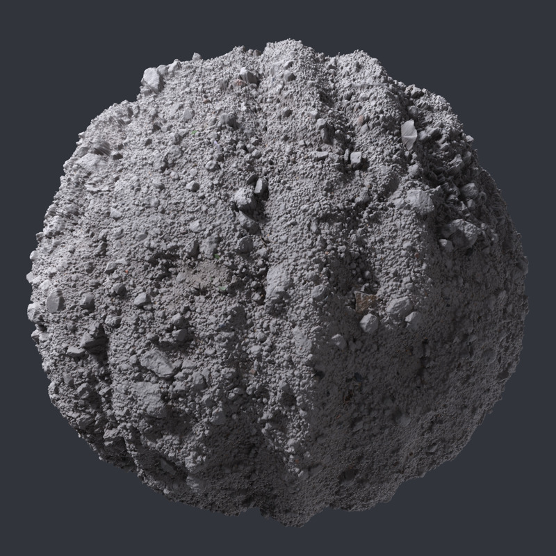
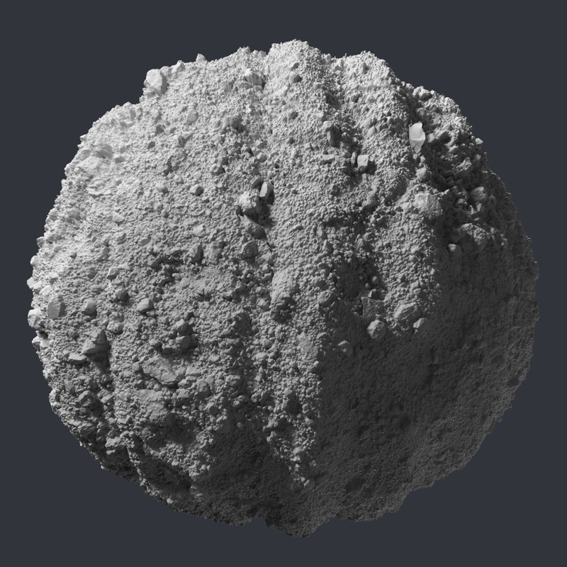
3D Scanned Plowed Farmland - 6.4x3.2, 3.2x3.2 meters
Go to page 1 of 5
Go to page 2 of 5
Go to page 3 of 5
Go to page 4 of 5
Go to page 5 of 5
Open fullscreen gallery
Previous page
Next page
Flat Maps - 3.2x3.2 meters
#
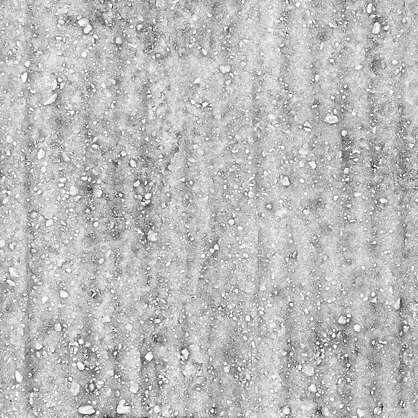
Albedo - 16Bit TIFF - Seamless
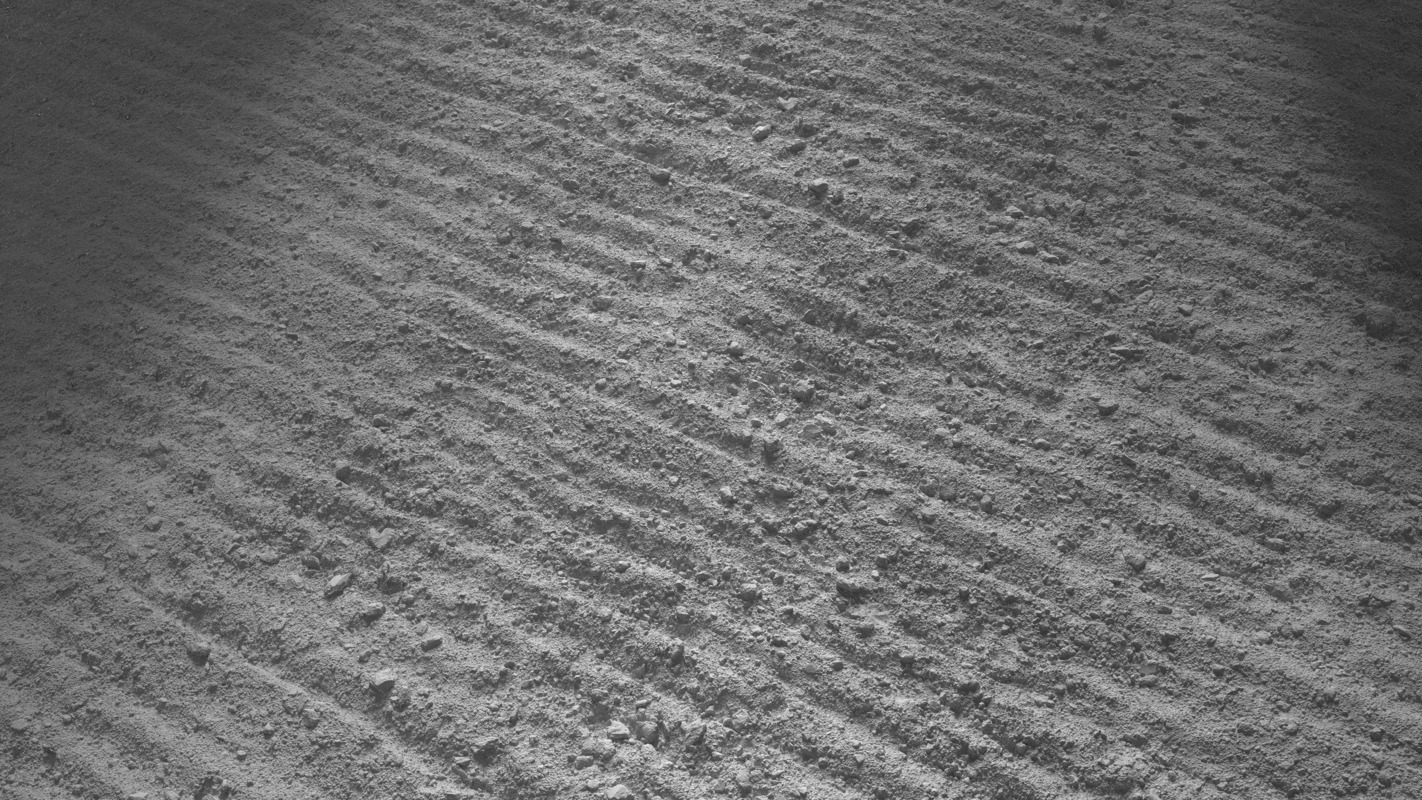
Height - 16Bit TIFF - Seamless
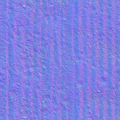
Normal - 8Bit TIFF - Seamless
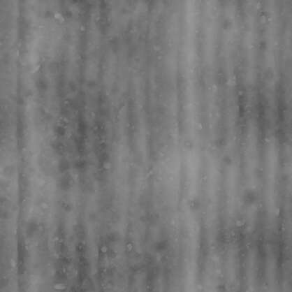
Roughness - 8Bit TIFF - Seamless
Ambient Occlusion - 8Bit TIFF - Seamless
Flat Maps - 6.4x3.2 meters
#
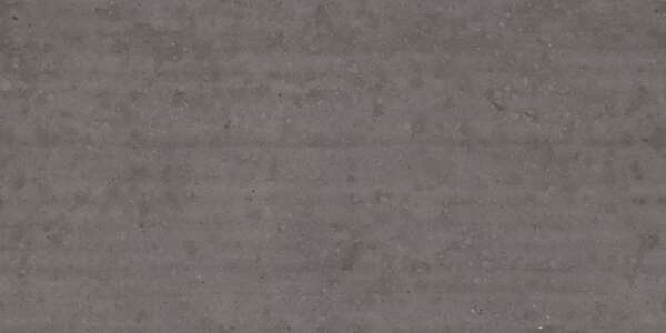
Albedo - 16Bit TIFF - Seamless
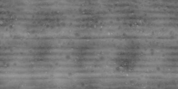
Height - 16Bit TIFF - Seamless
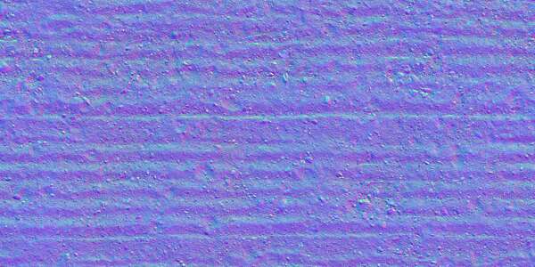
Normal - 8Bit TIFF - Seamless
Roughness - 8Bit TIFF - Seamless
Ambient Occlusion - 8Bit TIFF - Seamless